The professional video industry's #1 source for news, trends and product and tech information. Sign up below.
You are now subscribed
Your newsletter sign-up was successful
MELVILLE, N.Y.—Chyron has announced a new edition of its AXIS Maps graphics creation module for live news storytelling.
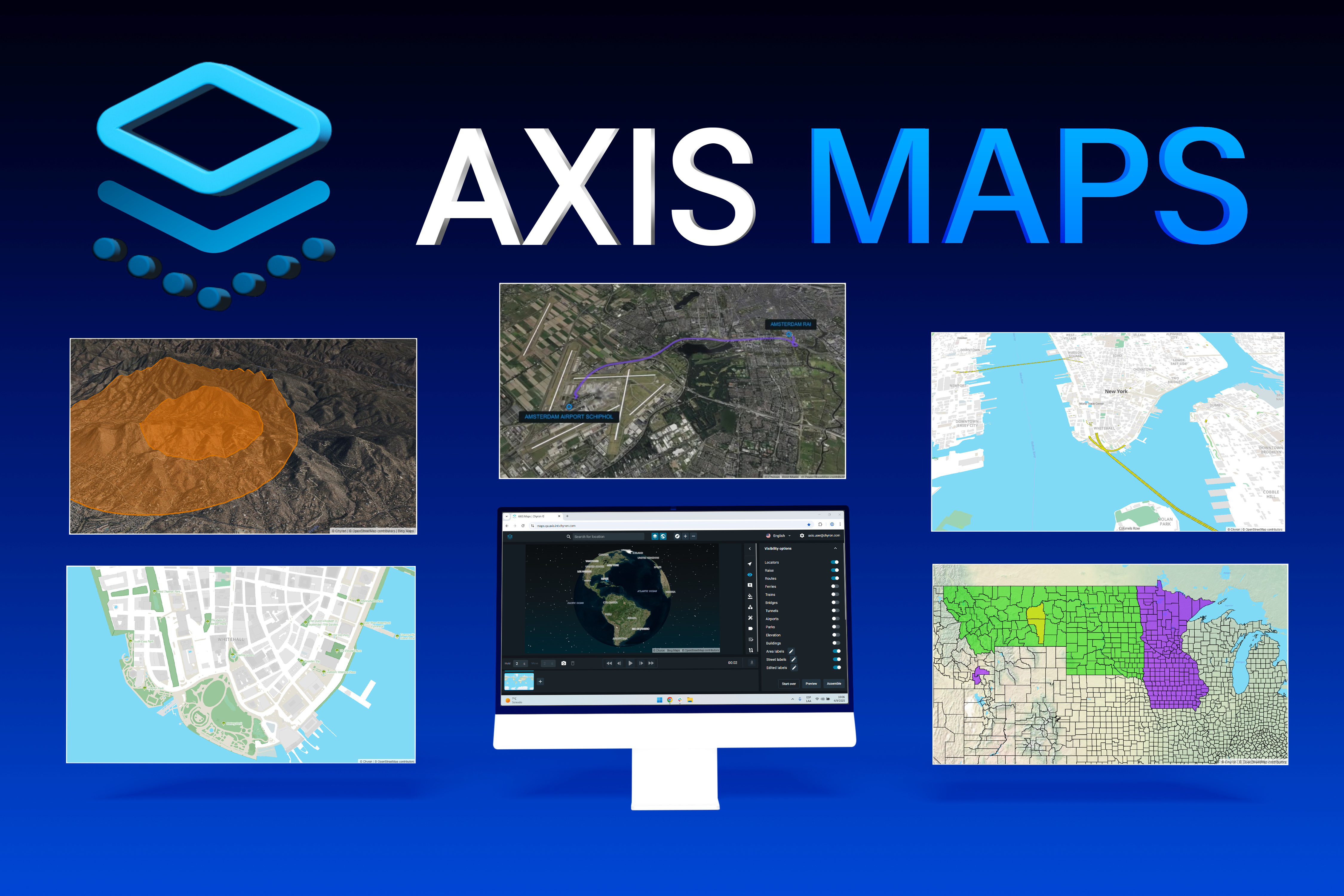
The latest generation of AXIS Maps advances the map creation workflow of broadcasters with high-quality 3D map visuals, data visualization, intuitive illustration tools and a simplified interface, the company said.
Part of the AXIS ecosystem, AXIS Maps is a cloud-based, hosted platform that offers the full range of graphics order management and creation tools broadcasters need to fulfill visual requirements for fast-paced news environments from within a web browser interface, it said.
With AXIS, reporters, editors, news producers and others in the newsroom can quickly locate and create rich graphic scenes with images, maps and charts to bring stories and data to life, it said.
"This evolution of AXIS Maps is the result of a true partnership with our customers from all around the globe," said Peter Matis, product manager of AXIS. "Their feedback was the blueprint for everything we developed - 3D map visuals, new built-in data layers, interface enhancements, and so much more….”
The new AXIS Maps offers rich 3D maps that integrate true-to-life building and elevation model data. Broadcasters can immerse viewers with lifelike map scenes with dynamic keyframe animations.
AXIS Maps adds support for an array of new data layers, such as bridges, tunnels, parks and airports, as well as the ability to import custom data for specific analysis, providing more flexibility for broadcasters to tell data-driven stories. Additionally, AXIS Maps feature new graphics tools to highlight areas of interest, whether 3D polygons on map terrain, custom routes or border coloration at national, regional, district, city or local levels, it said.
The professional video industry's #1 source for news, trends and product and tech information. Sign up below.
For any user, regardless of skillset, AXIS Maps makes it easy to locate an area-of-interest, visualize the necessary data layers, add graphic elements and create scenes with fluid animations. At an organizational level, AXIS Maps provides tools to maintain show-looks and branding guidelines across productions with global design parameters, as well as tools to address audiences in multiple international markets with map localization tools to designate the language in which location names are displayed, it said.
More information is available on the company’s website.
Tom has covered the broadcast technology market for the past 25 years, including three years handling member communications for the National Association of Broadcasters followed by a year as editor of Video Technology News and DTV Business executive newsletters for Phillips Publishing. In 1999 he launched digitalbroadcasting.com for internet B2B portal Verticalnet. He is also a charter member of the CTA's Academy of Digital TV Pioneers. Since 2001, he has been editor-in-chief of TV Tech (www.tvtech.com), the leading source of news and information on broadcast and related media technology and is a frequent contributor and moderator to the brand’s Tech Leadership events.

