Tsunami Hits American Samoa
PACIFIC OCEAN: An undersea earthquake about 125 miles from Samoa has caused a tsunami that washed over nearby American Samoa. The Pago Harbor area was hard hit, according to a report posted by Kirk Harnack to his Facebook page.
The earthquake hit Sept. 29th at 6:48 a.m. local time (1:48 p.m. EDT) and the wave reached Pago Pago around 8:13 a.m. local time (3:13 p.m. EDT).
Harnack, director of international business development for Telos Systems, is vice president of engineering for South Seas Broadcasting, which owns KKHJ-FM and WVUV-FM in Pago Pago, American Samoa. According to a report posted by Harnack from Joey Cummings, manager of the stations, the Pago Harbor area was hit with a wave 20 feet to 40 feet in height. AC power is out to the stations and is believed to be out at the transmitter site.
“All cars in our building’s parking lot are washed out to the harbor. KKHJ-FM and WVUV-FM--our offices, too--are on the second floor of the Pago Plaza building. They’re OK. But the ground-mounted generator (landlord provided) is non-operable now,” Cummings wrote.
“Reports of cars, ‘aiga busses’ (private busses) and school busses being washed out to the harbor or to sea. Surely dozens missing and presumed drowned. Dozens if not hundreds of businesses surround Pago Harbor--many of them are now gone,” Cummings continued.
Cummings said that the stations were able to activate the EAS system and to get two warnings out to the public before the tsunami hit.
Larry Fuss, president of South Seas Broadcasting, relayed a similar message to Harnack.
“We were able to air the tsunami warning several times before it hit. Power went off shortly thereafter. The generator for the studio is in the parking lot, which is under 15 feet of water, so we're now off air until we figure out an alternate power source,” Fuss wrote. “Our staff is all accounted for. Many of our automobiles are not.”
It is likely to be several days before the full impact of the wave is known.
According to the U.S. Geologic Survey, the earthquake was centered 110 miles east-northeast of Hihifo, Tonga; 125 miles south-southwest of Apia, Samoa; 435 miles north-northeast of Nuku‘alofa, Tonga; and 1,670 miles north-northeast of Auckland, New Zealand.
Currently (3:30 p.m. EDT on Sept. 29), a tsunami warning is in effect for American Samoa, Samoa, Niue, Wallis-Futuna, Tokelau, Cook Islands, Tonga, Tuvalu, Kiribati, Kermadec Islands, Howland-Baker, Jarvis Island, New Zealand, French Polynesia and Palmyra Atoll. Under a tsunami watch are Hawai’i, Vanuatu, Nauru, Marshall Islands, Solomon Islands, Johnston Atoll, New Caledonia, Kosrae, Papua New Guinea, Pohnpeo, Wake Island, Pitcairn Island and Midway. -- T. Carter Ross
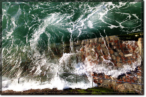
(Image by Pablo Fernández)

The professional video industry's #1 source for news, trends and product and tech information. Sign up below.
